PearlyBooks
*****VOIR OSTMSCOTL*********** (TOURING MAP) by Ordnance Survey
*****VOIR OSTMSCOTL*********** (TOURING MAP) by Ordnance Survey
Condition Details
Condition Details
- New: Brand new and unread.
- Like New: Almost new condition, unread, however may have some slight shelf wear.
- Very Good: Some have been read & some unread, however books will show some signs of light wear/creases or light damage, may be missing dust jacket.
- Good: Some have been read & some unread, however books will show signs of wear/creasing/marks/tears or damage to cover, may be missing dust jacket.
Low stock: 1 left
Couldn't load pickup availability
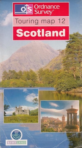
[touring Map 1]. Cornwall [1:100,000] -- Touring Map 2. North York Moors, Yorkshire Wolds & Part Of North Yorkshore [1:100,000] -- Touring Map 3. Lake District & Cumbria [ca. 1:110,000] -- Touring Map 4. Peak District [1:63,360] -- [touring Map 5]. Devon [1:100,000] -- Touring Map 6. Yorkshire Dales & Part Of North Yorkshire [1:100,000] -- Touring Map 8. The Cotswolds & Gloucestershire [1:100,000] -- Touring Map 12. Scotland [1:500,000] -- Touring Map C. Cornwall [1:100,000] -- Touring Map D. Devon [1:100,000]. Made, Printed, And Published By Ordnance Survey, Southampton, United Kingdom. Road Maps With Tourist Features. Relief Shown By Contours, Shading, Gradient Tints, Hachures, And/or Spot Heights On Some Sheets. Cover Title. At Head Of Titles: Os. Some Sheets Have Ed. Statement, E.g.: Edition-a ... Revised To May 2000 -- Edition B ... Revised To May 1999 -- [edition] ß+Ä. Various Eds. Of Some Sheets. National Grid On Some Sheets. Also Issued On Flat Sheets Without Covers. Sheets Variously Include Notes, Index Of Places, Inset, And/or Ancillary Map Of Scenic Areas. Text, Coverage Map, Publisher's Index Map, And Col. Ill. On Cover. Some Legends In English, French, And German.
Publisher: ORDNANCE SURVEYPublication date: 1999-08-01
Pages: 0
Binding: Map
ISBN: 9780319250280-X
Dimensions: 0.0 x 0.0 x 0.0 mm
Share