PearlyBooks
Philip's infant school atlas by David Wright, Rachel Noonan
Philip's infant school atlas by David Wright, Rachel Noonan
Condition Details
Condition Details
- New: Brand new and unread.
- Like New: Almost new condition, unread, however may have some slight shelf wear.
- Very Good: Some have been read & some unread, however books will show some signs of light wear/creases or light damage, may be missing dust jacket.
- Good: Some have been read & some unread, however books will show signs of wear/creasing/marks/tears or damage to cover, may be missing dust jacket.
Out of stock
Couldn't load pickup availability
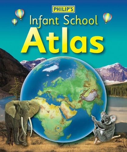
Philip's Infant School Atlas follows an 'area' spread-by-spread approach, describing first Europe, then its land neighbour Asia, followed by Africa, North and South America, the Pacific, Australia and New Zealand, then finally the Arctic and Antarctica. Clear, simple and accurate maps are combined with fascinating photographs and facts about the continents, countries and regions of the world to provide essential geographical information for young children. Guidance is given at the beginning of the atlas on how to use the maps - 'Making sense of maps' - encouraging the early development of map skills and knowledge of the world. Each colourful spread is illustrated with fascinating full-colour photographs and packed with fact boxes, curiosities, flags, stamps and simple quiz questions. Philip's Infant School Atlas is both fun to use and easy to understand. The text is simple and uncomplicated, and will encourage early reading skills to develop in the children.
Publisher: PhilipsPublication date: 2009-03-09
Pages: 49
Binding: Hardcover
ISBN: 9780540091218-LN
Dimensions: 294.0 x 245.0 x 9.0 mm
Weight: 0.515 kg
Share