1
/
of
1
PearlyBooks
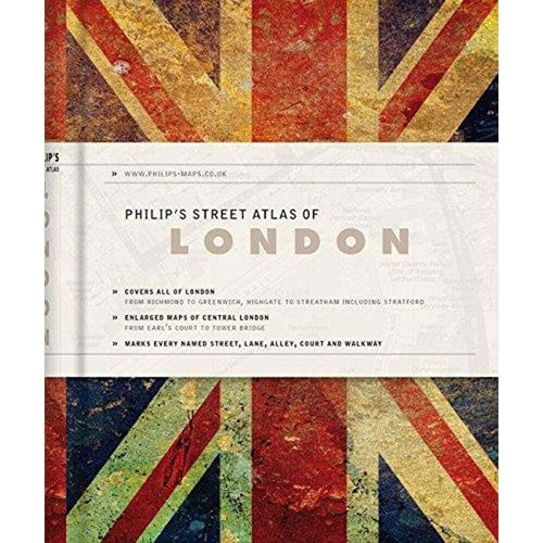
Philip's Street Atlas of London. by Philip'S
Philip's Street Atlas of London. by Philip'S
Regular price
£4.32 GBP
Regular price
£8.99 GBP
Sale price
£4.32 GBP
Unit price
/
per
Tax included.
Shipping calculated at checkout.
Condition Details
Condition Details
- New: Brand new and unread.
- Like New: Almost new condition, unread, however may have some slight shelf wear.
- Very Good: Some have been read & some unread, however books will show some signs of light wear/creases or light damage, may be missing dust jacket.
- Good: Some have been read & some unread, however books will show signs of wear/creasing/marks/tears or damage to cover, may be missing dust jacket.
Low stock: 3 left
Couldn't load pickup availability
Covering Greater London, from Richmond to Greenwich and Highgate to Streatham, these clear maps show every named street and the locations of tube and over ground stations. Central London is mapped at a larger scale, with transport links and places of interest easily identifiable.
Publisher: PhilipsPublication date: 2012-05-07
Pages: 320
Binding: Hardcover
ISBN: 9781849072281-X
Dimensions: 137.0 x 116.0 x 17.0 mm
Weight: 0.245 kg
Share