PearlyBooks
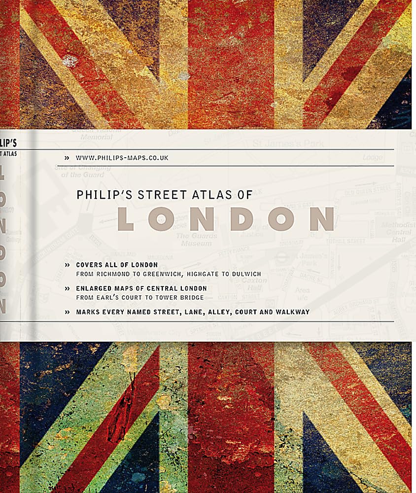
Philip's Gift Edition Street Atlas London - new hardback edition for 2018: De Luxe Edition Union Jack (Philip's Street Atlas) by Philip's Maps
Philip's Gift Edition Street Atlas London - new hardback edition for 2018: De Luxe Edition Union Jack (Philip's Street Atlas) by Philip's Maps
Condition Details
Condition Details
- New: Brand new and unread.
- Like New: Almost new condition, unread, however may have some slight shelf wear.
- Very Good: Some have been read & some unread, however books will show some signs of light wear/creases or light damage, may be missing dust jacket.
- Good: Some have been read & some unread, however books will show signs of wear/creasing/marks/tears or damage to cover, may be missing dust jacket.
55 in stock
Couldn't load pickup availability
THE POCKET LONDON STREET ATLAS THAT SHOWS YOU ALL THE THINGS YOUR SMARTPHONE WON'TThe most comprehensive pocket London street atlas - for Londoners and visitors, for drivers, cyclists and pedestrians.'Absolutely fabulous' www.londontaxi.com'Must buy' Evening Standard- More streets (26,191 to be precise)- More lanes and alleys- More named buildings- More house numbers- More estate building names- Street maps show hundreds of places of interest, tube and rail stations, car parks and postcode boundaries.- Congestion Charge Zone.- Central London street maps show one-way streets and banned turns.- Tube map.- Index includes postcodes, schools, industrial estates, hospitals and sports centres.- 3 inches to 1 mile (1:18,000). Central 7 inches to 1 mile (1: 9,000).The maps mark every named street, plus car parks, tube, rail and bus stations, post offices, schools, hospitals, police and fire stations, places of worship and many other places of interest. The comprehensive index lists street names and postcodes, plus hundreds of places of interest. Schools, hospitals, railway stations and shopping centres, etc, are highlighted in red, while leisure and entertainment venues such as museums, galleries and sports grounds are shown in blue.Philip's Street Atlas London is suitable for both drivers and pedestrians. For drivers, through-routes are highlighted. One-way streets and restricted turns are clearly displayed along with the Congestion Charge Zone.For pedestrians, tourist sights and attractions are clearly labelled and its compact size fits easily into a briefcase or handbag.
Author(s): Philip's MapsPublisher: Octopus Publishing Group
Publication date: 2017-09-07
Pages: 320
Binding: Hardcover
Language: English
ISBN: 9781849074551-N
Dimensions: 144.0 x 114.0 x 18.0 mm
Weight: 0.265 kg
Share