PearlyBooks
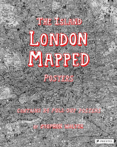
The Island: London Mapped Posters by Stephen Walter
The Island: London Mapped Posters by Stephen Walter
Condition Details
Condition Details
- New: Brand new and unread.
- Like New: Almost new condition, unread, however may have some slight shelf wear.
- Very Good: Some have been read & some unread, however books will show some signs of light wear/creases or light damage, may be missing dust jacket.
- Good: Some have been read & some unread, however books will show signs of wear/creasing/marks/tears or damage to cover, may be missing dust jacket.
10 in stock
Couldn't load pickup availability
Now available in a pull-out poster book, artist Stephen Walter's celebrated hand-drawn map of London is 'as much a guide to history and folklore as it is to the geography of the city' (The Guardian). London's streets, built up over more than two thousand years, are a maze of history, cultures, and stories. In his fantastically detailed maps of the city, Stephen Walter converts the densely packed streets into a tangle of insightful yet humorous words and symbols. As The Guardian notes, 'the features Walter selects [in a map] are by turns funny, crass, touching, burlesque, murderous and uncanny.' Jokingly dismissing neighboring cities, the artist reimagines London as an insular body of land surrounded by water. The book includes posters of all 33 London boroughs that can be pulled out, framed, and displayed, and a further poster contains a key to the many symbols used by the artist to help readers navigate their way through the maps. Walter's cartographic creations have a cult following and his books enable a wider audience to immerse themselves in his personal vision that celebrates the art of mapmaking and pokes intelligent fun at the city he calls home.
Publisher: PrestelPublication date: 2017-08-11
Pages: 72
Binding: Paperback
ISBN: 9783791383347-N
Dimensions: 304.0 x 285.0 x 19.0 mm
Weight: 0.952 kg
Share